Summer Hiking Trails Around Lake Tahoe
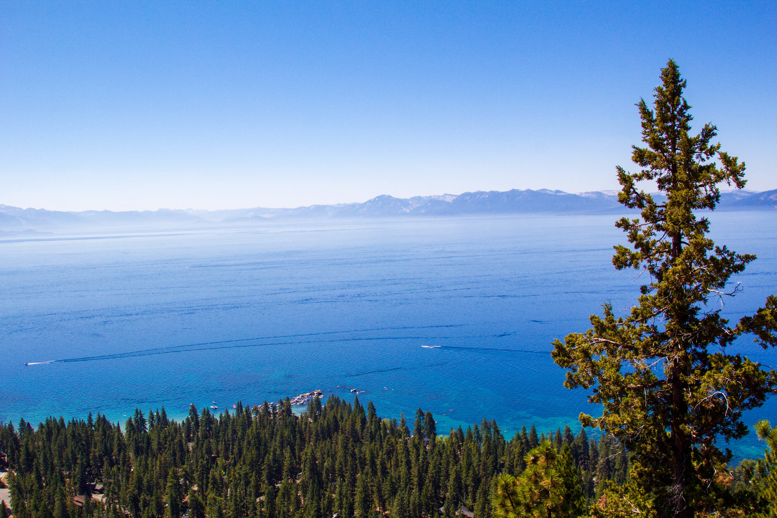
Lake Tahoe may very well be one of my entire places to hike in the entire world. Yes, seriously, and no one paid me to say that. Set against the backdrop of the Sierra Nevada mountain range, Lake Tahoe features a juxtaposition of beautiful landscapes and unique outdoor opportunities that are unparalleled. In a given day you could stroll the shoreline of North America's largest alpine lake, hike the ridgeline of the 165-mile Tahoe Rim Trail or traverse sections of one of the longest hiking trails in the world, the Pacific Crest Trail (PCT).
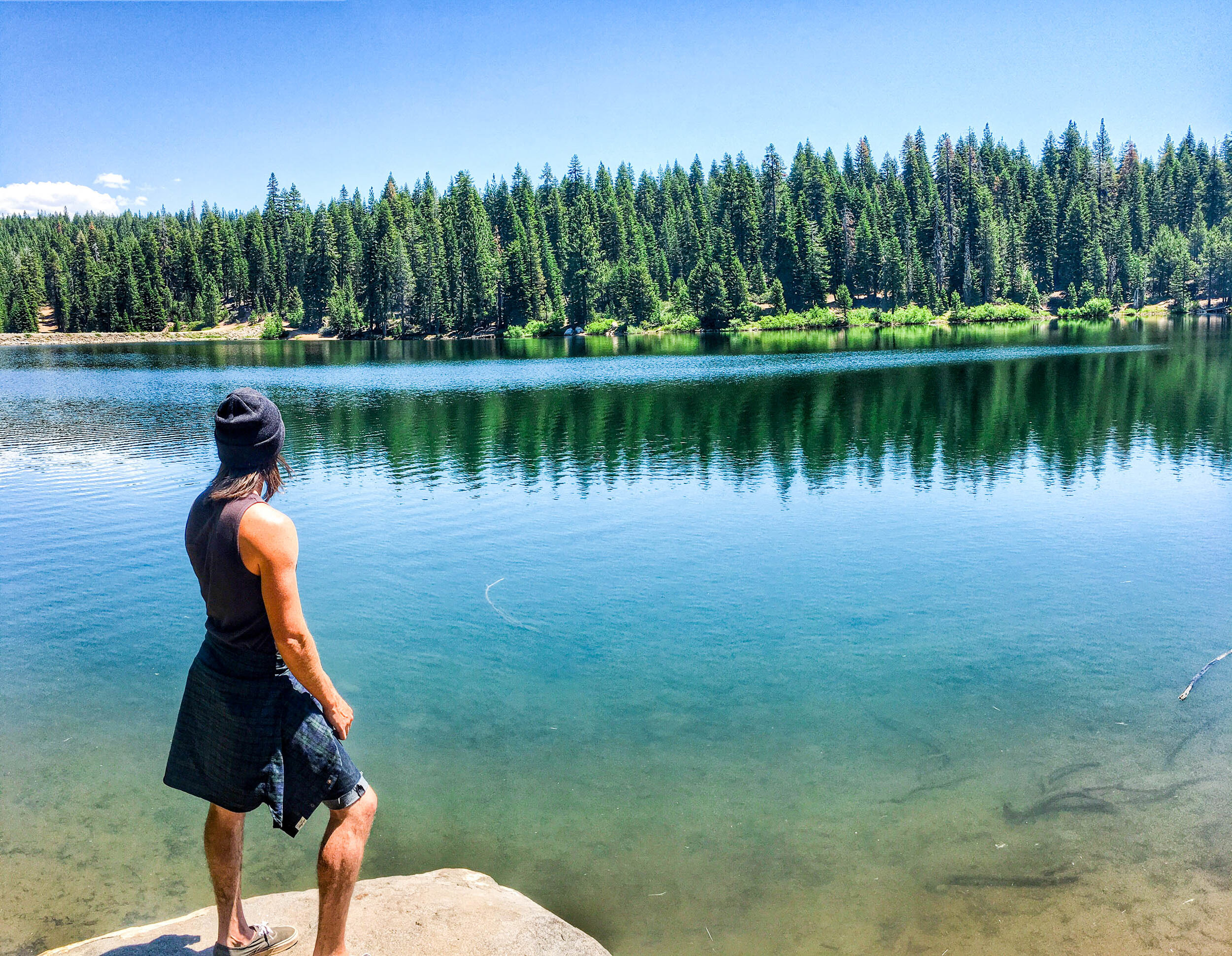
And following one of the best winters ever, there's never been a better time to hike around Lake Tahoe. The lake is full (and actually above its natural rim), rivers and waterfalls are rushing and snow is still covering many peaks. You could even ski this summer! However, I'm bringing you the 4-1-1 on summer hiking trails around Lake Tahoe. See a few of my favorite Lake Tahoe hiking trails below.
Summer Hiking Trails Around Lake Tahoe
Tahoe Rim Trail
Any conversation about Lake Tahoe hiking should first begin with the Tahoe Rim Trail, a 165-mile trail that circles the lake. A number of major and minor trailheads can be found around the entire lake, with a variety of different types of trails and terrain for hikers, mountain bikers, skiers, and equestrians. What's more, the much longer Pacific Crest Trail even merges with the Tahoe Rim Trail for sections of it. I recommend utilizing the Tahoe Rim Trail Association's interactive map for info on trailheads, camping, water sources and regulations. I have a few favorite sections for hiking the Tahoe Rim Trail, some of which I mention below, such as Van Sickle Bi-State Park and the Flume Trail, which link up with the trail system.
Pacific Crest Trail (PCT)
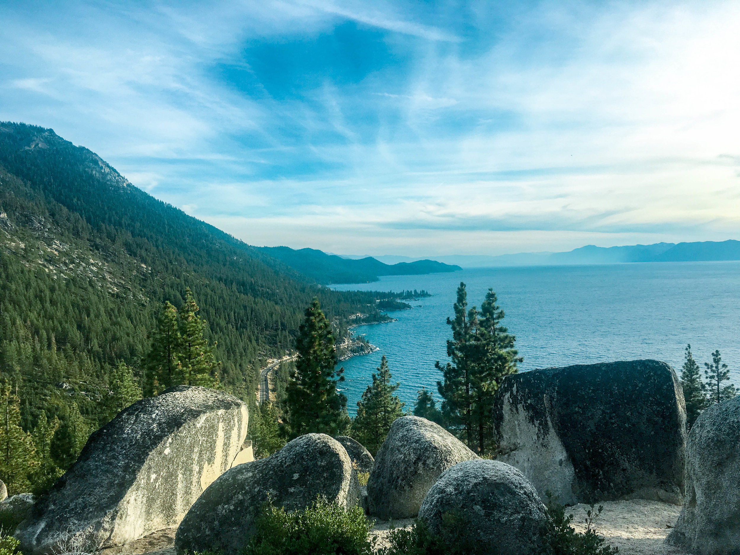
Similarly, you can't mention hiking around Lake Tahoe and not talk about the Pacific Crest Trail. It's that same Pacific Crest Trail that's front and center in Wild with Reese Witherspoon. While the trail in its entirety is more than 2,600 miles, some of my favorite sections of the Pacific Crest Trail are around Lake Tahoe. The PCT weaves over Donner Summit, through Desolation Wilderness, and even overlaps parts of the Tahoe Rim Trail. If you do one section of the Pacific Crest Trail, however, I'd recommend picking up the trail near Truckee at Donner Pass. Parking is available along the road at the top of the summit with signs for the trail. Head north on the PCT away from Lake Tahoe toward Castle Peak or south toward Lake Tahoe. The views and trail here are among my favorite in all of the Sierra Nevada mountains.
Van Sickle Bi-State Park
Van Sickle Bi-State Park was one of the first hikes I did around Lake Tahoe. It was at the end of the winter, and I was treated to one of the most beautiful sunsets I've ever seen. What's more, it affords one of the best unobstructed hiking views of Lake Tahoe. As the name presumes, Van Sickle Bi-State Park sits on the California/Nevada border, with switchback trails that weave above Lake Tahoe toward the Tahoe Rim Trail. This is one of the most accessible hiking trails around Lake Tahoe, since guests staying in South Lake Tahoe, and especially at Heavenly Village, can just walk to the trailhead. I recommend going later afternoon to catch the sunset over Lake Tahoe. Additionally, Van Sickle Bi-State Park is great for mountain bikers and trail runners.

Vikingsholm Trail
A hike to a hidden castle on Lake Tahoe? Yes, please. While this is one of the shorter hikes around Lake Tahoe, it's more than worth it, featuring beautiful views of Emerald Bay at the trailhead and the unique experience of seeing the 38-room Scandinavian Vikingsholm mansion. While just two miles round-trip, Vikingsholm is a steep hike, so plan accordingly and still bring water. For the truly adventurous (and photographers), arrive at first light to catch sunrise over Lake Tahoe and Emerald Bay (pictured below). Additionally, nearby D.L. Bliss State Park features the much longer (8 miles out and back), and equally beautiful Rubicon Trail.

Flume Trail
For many locals, the Flume Trail is one of the top mountain biking trails around Lake Tahoe, characterized by beautiful trail views overlooking the lake. Yet it's also one of my favorite hiking trails around Lake Tahoe for its accessibility and unobstructed views. I recommend parking along the road across from Tunnel Creek Cafe, and then walking behind the cafe up the road toward the trail. My favorite quick hike is to take the short, steep ascent to Monkey Rock, perched above Incline Village with panoramic views of Lake Tahoe. However, you can also continue much further on the actual Flume Trail. Additionally, further up the trail you can follow the signs to pick up the Tahoe Rim Trail.

Stateline Fire Lookout
Stateline Fire Lookout is less of a hike and more of an uphill walk to the old Stateline Fire Lookout, set high above Kings Beach and with beautiful panoramic views of Lake Tahoe. This is a great hike with kids, as it's just 1.5 miles round-trip, albeit with a steep incline. It's also a great picnic spot, with benches and picnic tables. To get there, you'll take Reservoir Road off Highway 28 in Crystal Bay. Follow the signs and take a right on Lakeview Drive, following it until you see the parking area up ahead. Be aware that it's a residential street and parking can be hard to come by on weekends. Early mornings and weekdays, however, I haven't had a problem finding a parking spot.
Martis Valley
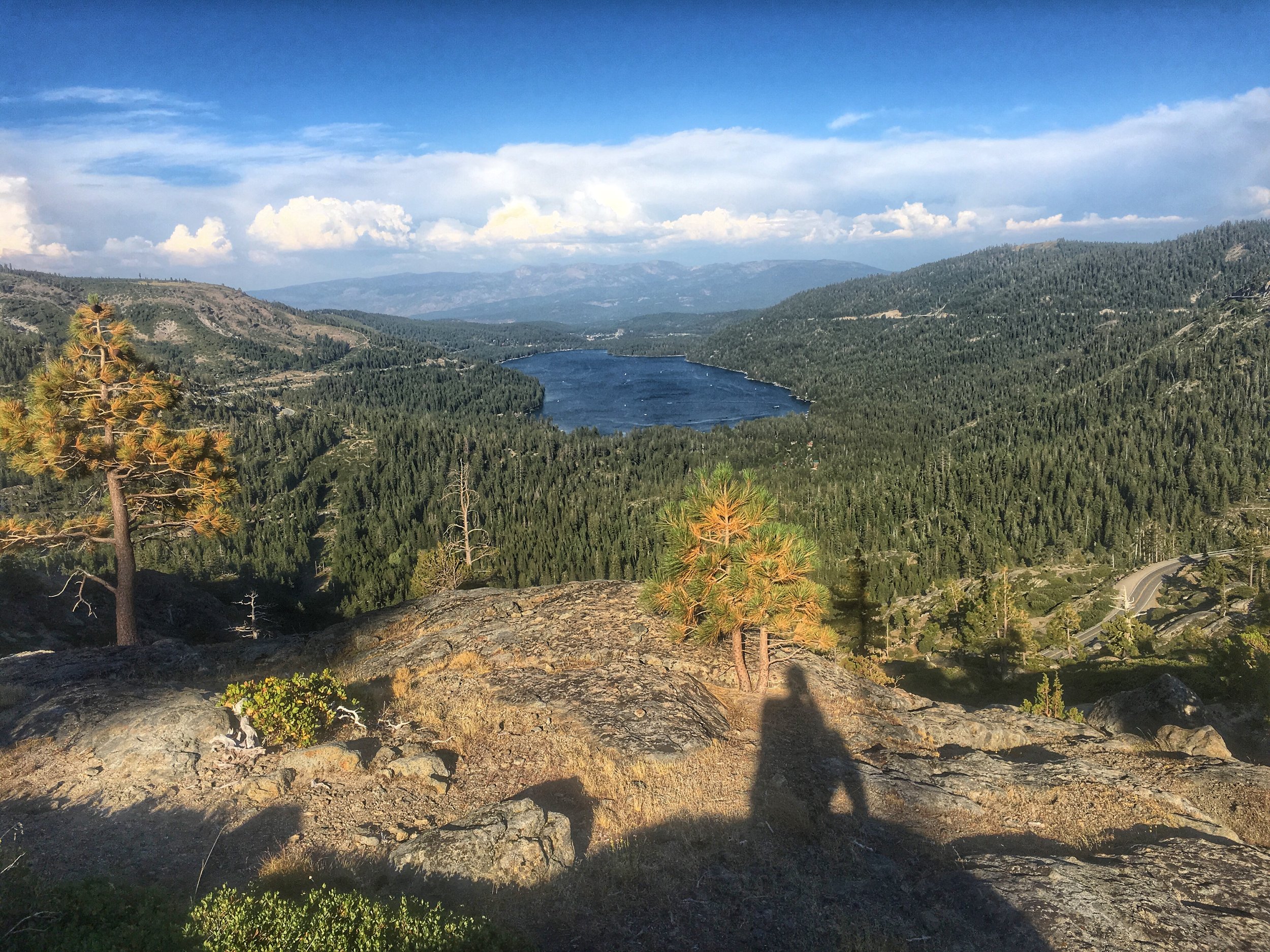
Last, but not least, is the Martis Valley, north of Kings Beach near Truckee. The main Martis Creek Trail itself, at the base of Northstar California (of which I am an ambassador for), is a flat, several-mile loop around the meadow for hikers and bikers. What's unique, however, is that it's a designated wildlife area, where it's possible to see animals like deer, pelicans, and occasionally, the rare bald eagle. For a little more adventure, Northstar offers lift-access hiking to a number of trails around the mountain. A short, scenic hike from mid-mountain is the Sawmill hiking trail, which is just a couple miles round-trip. For more adventure and elevation gain, I recommend the Watson Lake Loop, a 6-mile round-trip hike that includes 360-degree views of the area and small section of the hike along the Tahoe Rim Trail. You'll access the Watson Lake Loop at the top of the Tahoe Zephyr lift.